Skycatch

Skycatch is trusted by the biggest developers, general contractors, and construction leaders around the world to oversee, better manage, and scale the use of drone data and analytics across thousands of projects. Skycatch provides aerial data capture automation, processing, visualization, and analysis tools. Complete with onboarding, training and support. Many of the world's largest companies use Skycatch across all of their work sites.

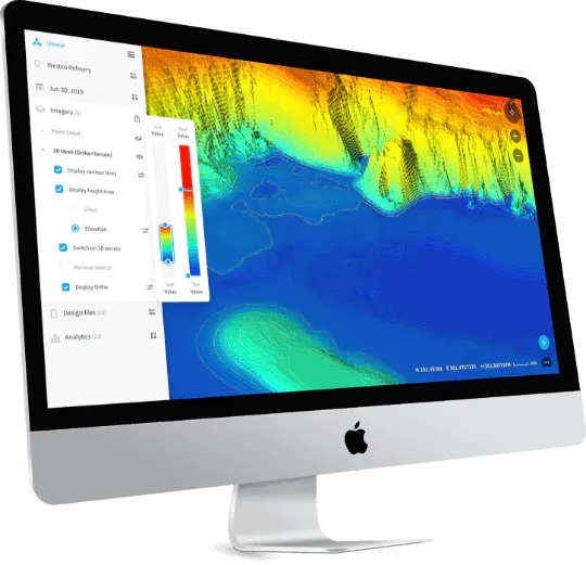
The Perfect Mining Solution for Drone Survey and Analytics


check 
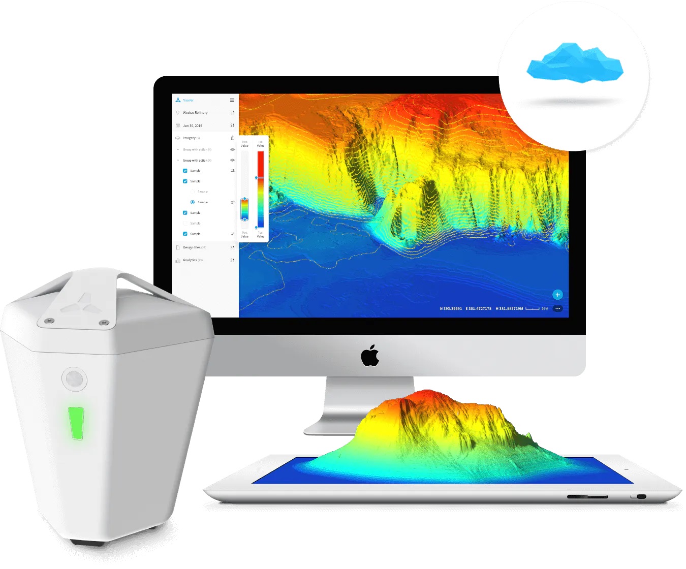
Fastest time-to-data in the market

check Eliminates GCPs for a safer data capture

check Proven 5cm accuracy across all axis

check Process offline in the field or in the cloud

check Precise, high-fidelity 3D models of vertical surfaces


  • Software Package

    The only automated drone data solution for construction enterprises. The perfect tool for construction site visualization and analysis.

  • High Precision Package

    One simple kit for UAV mapping, data processing, and drone analytics. The all-in-one solution for drone survey and highwall mapping.

sr-o_technology_logo_macwell

Contact
Ota yhteyttä!
Call now Ask for an offer Order Service
Contact form
Write to us
Information obligation More
Thanks! your message has been sent.
Contact form
Rent a machine
Information obligation More
Thanks! your message has been sent.
Newsletter
Sign up for the Komatsu Poland newsletter and receive the latest information about our offer and promotions.
Information obligation More
Thank you for subscribing to the newsletter.
Contact form
Write to us
Information obligation More
Thanks! your message has been sent.